Starting location: Buckinghorse River Provincial ParkClue:
Though the first spot was just a means to an end,
Its name will lead us further 'round the bend.
_ _ _ _ _ _ _ _ _ _ _ _
_ _ _ _ _
 Ok, you've probably already figured this one out... Buckinghorse River.... now to do the math to get the co-ordinates for the next location.... Ah, yes...
N 59o 55.845'
W 125o 46.066'
First morning out on the road = beautiful s unrise.We've a busy day ahead of us. 460 km of driving. Geocaches. And a surprise at the end of the road. But you can't start the day without a decent breakfast. Too bad we forgot the kettle and coffee dripper. What? We have the coffee and we have the filter... and a pot. So, we'll boil the water in the pot, put a stick through the filter so it can hang over the travel mug and voila - a cup of coffee. (and oatmeal).
Those of you who know us know that we like geo caching and we tend to geocache where ever we go. Well this trip was no different. We took a side street off the highway to go find a cache. The directions said to be cautious while going on the one-way bridge. Well, we can do one-way bridges, no problem. But this was different.... This was a train bridge. We had to drive down the tracks to cross the water. Luckily no trains were coming. (and yes, we found the cache).
 On the road again. And more geocaching. In one cache up a hill with great views we found Chatter - the rapper ducky, a travel bug trying to get lots of kilometres under his belt. He joined us on our journey.


Continuing down the road through the mountains, we stopped to read the information boards. We learned about the creation of the Alaskan highway in 1942 so the Americans could easily get to Alaska to protect it during the war.

Driving through the mountains was gorgeous and there were lots of interesting geological formations.
We sa w some hoodoos. Hoodoos are rock formations that are usually found in the badlands. They are the tall chimneys of rock in the picture. These hoodoos are till material (as opposed to consolidated rock, like most) and are more susceptible to erosion.
"In some of the First Nation traditions, Hoodoos are believed to be petrified giants who come alive at night to hurl rocks at intruders. However it was the Europeans that gave Hoodoo's their name." (Stone mountain hoodoos - geocaching.com)
 Another geological formation we saw was the folded mountains. While the Canadian Rockies are folded mountains, at this spot you can actually see how the layers of the ancient sea bed folded over to form the mountains when the tectonic plates moved together so many years ago.


Driving down the road....


You just have to love the sun-roof, it provides so much extra mountain viewing. :) And yes, that's correct... the gas pump does say $1.85/L.... Have to love being in the middle of no where.


What's a trip through the mountains without some animals. Lots and lots of animals. First we met caribou walking down the road. There was even a mom protecting her baby.


Second were the Stone's sheep. Another mom and her baby.

And third were the bison. What a big, big animal. Just munching away on the side of the road. Majestic is the only word for it.
And of course there were numerous birds (hawks, eagles, owls) throughout the drive that we couldn't get any good pictures of.


Now I'm sure you're wondering w here we finally ended up. Well near the end of the day we pulled into the destination from the clue - Liard Hot Springs! Yes, that's right - hot springs and they still look natural. A long (700 m) board walk leads you to two pools of hot water (the upper being hotter than the lower). There is a changeroom and wooden deck with stairs into the water on one side and forest on the other, rocks under your feet and the sky above. What a beautiful way to end the day, a nice soak in the water before dinner with a dusting of snow on the ground. Then a delicious dinner of beef stir fry (my man can cook!) at our campsite. Then a final soak under the stars before bed time.

W 125o 46.066'
First morning out on the road = beautiful s
 unrise.We've a busy day ahead of us. 460 km of driving. Geocaches. And a surprise at the end of the road. But you can't start the day without a decent breakfast. Too bad we forgot the kettle and coffee dripper. What? We have the coffee and we have the filter... and a pot. So, we'll boil the water in the pot, put a stick through the filter so it can hang over the travel mug and voila - a cup of coffee. (and oatmeal).
Those of you who know us know that we like geo
 caching and we tend to geocache where ever we go. Well this trip was no different. We took a side street off the highway to go find a cache. The directions said to be cautious while going on the one-way bridge. Well, we can do one-way bridges, no problem. But this was different.... This was a train bridge. We had to drive down the tracks to cross the water. Luckily no trains were coming. (and yes, we found the cache).
 On the road again. And more geocaching. In one cache up a hill with great views we found Chatter - the rapper ducky, a travel bug trying to get lots of kilometres under his belt. He joined us on our journey.


Continuing down the road through the mountains, we stopped to read the information boards. We learned about the creation of the Alaskan highway in 1942 so the Americans could easily get to Alaska to protect it during the war.

Driving through the mountains was gorgeous and there were lots of interesting geological formations.
We sa
 w some hoodoos. Hoodoos are rock formations that are usually found in the badlands. They are the tall chimneys of rock in the picture. These hoodoos are till material (as opposed to consolidated rock, like most) and are more susceptible to erosion.
"In some of the First Nation traditions, Hoodoos are believed to be petrified giants who come alive at night to hurl rocks at intruders. However it was the Europeans that gave Hoodoo's their name." (Stone mountain hoodoos - geocaching.com)
 Another geological formation we saw was the folded mountains. While the Canadian Rockies are folded mountains, at this spot you can actually see how the layers of the ancient sea bed folded over to form the mountains when the tectonic plates moved together so many years ago.

Driving down the road....


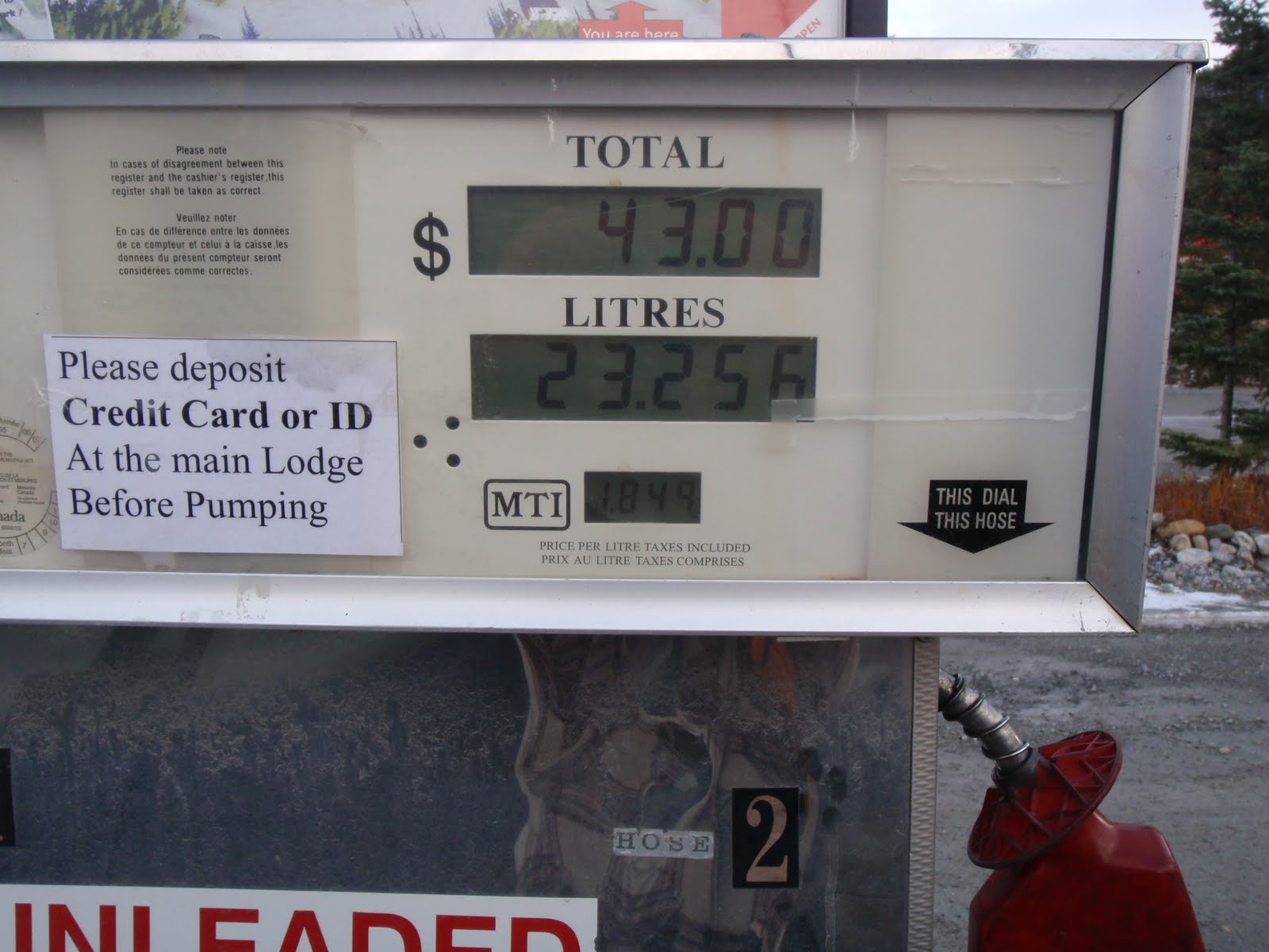
You just have to love the sun-roof, it provides so much extra mountain viewing. :) And yes, that's correct... the gas pump does say $1.85/L.... Have to love being in the middle of no where.


What's a trip through the mountains without some animals. Lots and lots of animals. First we met caribou walking down the road. There was even a mom protecting her baby.


Second were the Stone's sheep. Another mom and her baby.

And third were the bison. What a big, big animal. Just munching away on the side of the road. Majestic is the only word for it.
And of course there were numerous birds (hawks, eagles, owls) throughout the drive that we couldn't get any good pictures of.


Now I'm sure you're wondering w
 here we finally ended up. Well near the end of the day we pulled into the destination from the clue - Liard Hot Springs! Yes, that's right - hot springs and they still look natural. A long (700 m) board walk leads you to two pools of hot water (the upper being hotter than the lower). There is a changeroom and wooden deck with stairs into the water on one side and forest on the other, rocks under your feet and the sky above. What a beautiful way to end the day, a nice soak in the water before dinner with a dusting of snow on the ground. Then a delicious dinner of beef stir fry (my man can cook!) at our campsite. Then a final soak under the stars before bed time.


